Kielder Water Circular Walking Trail: Northumberland’s 27-Mile Lakeside Hike
Kielder Water is one of those places that makes you feel small in the best possible way. A couple of months ago we set out early to walk the “Lakeside Way” circular trail and finish it off with a well-deserved pub meal, because it’s a pretty tough hike.
I’ve done the full route a few times myself in the past, but my girlfriend Gaynor's biggest hike until that point was around 14-15miles, although she’d done numerous peaks and mountains.
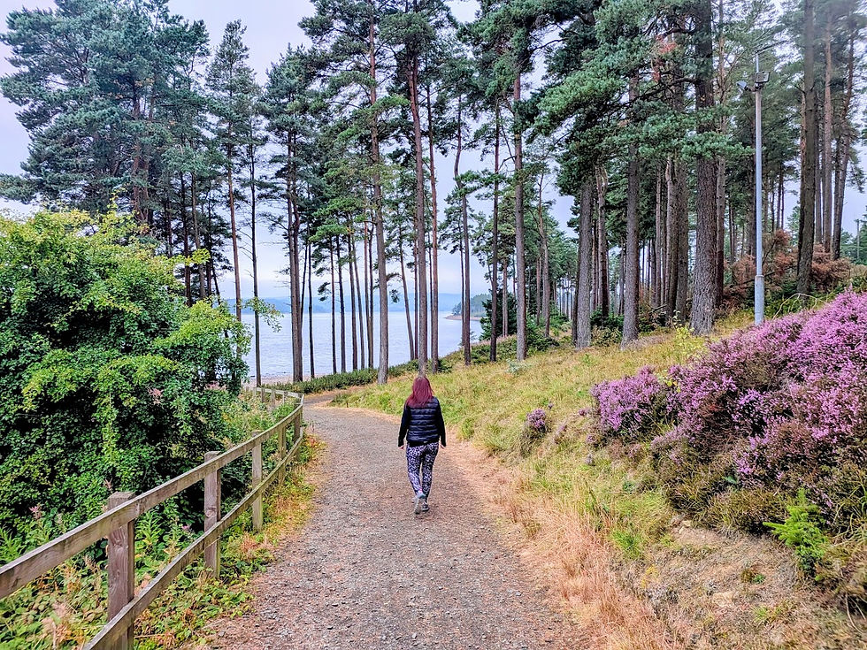
The reservoir itself holds 200 billion litres of water and is surrounded by England's largest man-made woodland. This year marks 100 years since the very first trees were planted in Kielder Forest back in 1926. The Lakeside Way follows the shoreline for around 26-27 miles, but by the time we finished, we’d clocked up 28.8 miles because of detours to take photographs and look at sculptures, of which there are many dotted around the trails.

If you have been following my blogs, you will know I like going where the crowds don't, and Kielder is a fantastic place to do it, especially if you have an early start on the far side of the reservoir. Most people tend to stay to the main picnic sites and facilities on the main road side of the water. As we set out hiking at 5am, we didn’t encounter another person till around 11ish. On this walk we passed giant sculptures, a Victorian viaduct, a drowned railway, a love story told through two tiny buildings, and more forest than I have ever seen in one place, so grab a coffee and let me take you round it.

A Little Background on Kielder Water
Kielder Water is the largest man-made lake in the UK by water capacity. It was built between 1975 and 1981 at a cost of £167 million, before being officially opened by the Queen on 26 May 1982.
Creating it meant flooding an entire valley, which swallowed a railway, a school and a number of farms and homes, and the water now supplies the Tyne, Derwent, Wear and Tees, with the dam also housing England's largest hydroelectric plant of its kind.
The forest surrounding Kielder Water covers 250 square miles and contains around 150 million trees; these were planted by unemployed men from the mining and shipbuilding communities of the North East. The Lakeside Way itself was built between 2006 and 2009 as a multi-user trail, which also has paths leading off in many directions through the forest. The forest is a haven for wildlife; on our hike we saw deer, barn owls, and tawny owls, as well as an osprey.

Our Route: Anticlockwise from the Dam Wall
We parked at the main car park by the dam and set off anticlockwise, which meant tackling the quieter north shore first and returning along the south shore. The breakdown below follows the order we walked it, with the coffee and food stops that kept us going. As we were heading there early, we booked our full day's car parking online the night before, which is valid for any of the car parks around the lakeside.
Leg 1: Across Kielder Dam to Belvedere
Our hike began with a walk across the dam wall itself. Kielder Dam is a 52 metre high earth dam; as we crossed it we walked past the overflow, which lets water escape when the reservoir reaches capacity, but back in the summer the levels were extremely low.
My favourite piece of trivia from the building of the reservoir is that the button which closed the sluice at Bakethin Dam and began filling the valley was pressed by a nine-year-old boy called Jonathan Hall, watched by his school friends from Kielder First School; he later went on to work for Northumbrian Water for nearly 40 years.
Not long after the dam, we reached The Belling, a wooded peninsula that is almost an island, joined to the shore by a narrow marshy strip. At the far end sits the Wave Chamber, a small stone beehive-shaped hut created by the artist Chris Drury.
From here we walked on to our first mini photo stop at the Belvedere, an unusual shelter clad entirely in polished stainless steel that reflects the forest and water around it. Inside is a golden circular chamber with a bench facing a narrow slot window giving views across the water.
First photo stop at The Belvedere
Leg 2: A Love Story and a Lost Colliery
Robin's Hut is one half of the reservoir’s love story, a cedar shelter at the edge of the woodland. It is part of a pair designed by the London Studio Weave.
Robin's Hut and its partner, Freya's Cabin, sit on opposite shores of the lake, lined up to look at each other across the water. I'll tell you the full story when we reach Freya's Cabin later on the trail.

Next came the part of the walk I was looking forward to, our breakfast stop!! We stopped at the track up to the old Plashetts Colliery. Here you’ll find a stone incline, which was once a wagonway lowering coal wagons down the hillside to the railway, which now leads out into the water. This was once a busy mining community, and at its peak in 1914 the colliery employed 126 men. It closed in 1964. The railway that served it, along with the station, brickworks and the coal transfer yard, are now all underwater.
Our plan was to stop roughly every 2 hours of walking for a 15-minute break. So we sat on the stone incline eating our breakfast while Charlie our Springer Spaniel played in the water. We still hadn’t met another soul, other than a family of three deer which ran out across our path, literally a few feet in front of us.
Leg 3: A Giant Head, a Viaduct and Kielder Castle
This section carries you into the head of the valley, and it contains two of the most photogenic spots on the whole walk.
Silvas Capitalis, which is Latin for "forest head". It is a two-storey timber head created by the American art collective SIMPARCH. It is designed to watch over and listen to the forest, which is a slightly eerie thing to meet in the trees. The previous times I’d walked the trail, I went straight past without detouring off for photographs.
The Forest Head, the watcher of Kielder Forest
On the approach to Kielder village at the head of the valley, we walked across Kielder Viaduct to take in the view. The viaduct was completed in 1862 to carry the Border Counties Railway. It has seven skew arches and castle-style battlements with false arrow slits, which were added to win the approval of the Duke of Northumberland, who had a hunting lodge nearby. The railway closed to passengers in 1956 and to freight in 1958,
The Duke’s hunting lodge Kielder Castle, isn't really a castle at all. It was built in the 1770s for the Duke of Northumberland so he could wait in comfort for the deer to come to him. It is now the Forestry England visitor centre and is only a couple of miles from the Scottish border. We stopped in Kielder village for lunch and a fresh coffee from the mountain bike hire shop; it was a very welcome rest at roughly the halfway point, nearly 13 miles, so there was no going back!!
Kielder Viaduct with panoramic view up the valley
Leg 4: The South Shore, Bakethin and the Lewisburn Bridge
After lunch we crossed to the south shore and followed the water's edge back round towards the dam, through some of the most peaceful woodland of the entire walk.
This part of the route passes Bakethin Nature Reserve, Bakethin is a conservation area managed by Northumberland Wildlife Trust, with three ponds and a wildfowl viewing hide. You might even spot the Exmoor ponies grazing around parts of the site.

A few miles on we crossed the Lewisburn suspension bridge, a beautiful little bridge over an rocky inlet, a lovely spot to stretch, grab a few photographs and enjoy the views. Shortly after, we stopped at Leaplish Waterside for the remainder of our picnic and to grab an ice cream from the shop.

Leg 5: Freya's Cabin, Bull Crag and a Monster Burger
The last section was my favourite, partly because of the stunning scenery and partly because the end finally felt like it was in sight. The walking was getting tough, and our feet were in agony.
On the approach to the Bull Crag Peninsula, you reach Freya's Cabin, the second half of the Kielder love story.

In the tale, a beautiful woman Freya, often watches Robin in his hut across the water, she can see he is kind to the trees and the animals, and she longs to talk to him. So, over the weeks, she builds him a gift of a cabin made from branches, decorated with pressed flowers, and places it directly opposite his hut so he has the best chance of seeing it across the lake.
Robin builds a boat to row across the water, eventually the couple unite, and after spending time together they set off on an adventure in Robin's boat.

The cabin itself is made from 148 layers of cut spruce plywood, perched on golden stems of brass-sheathed steel, with a cladding made from the same material that was used for pound coins. Beyond it is Bull Crag Peninsula pushing out into the water. The Lakeside path winds round its tip with big open views across the lake before tucking back into quiet, shaded coves.
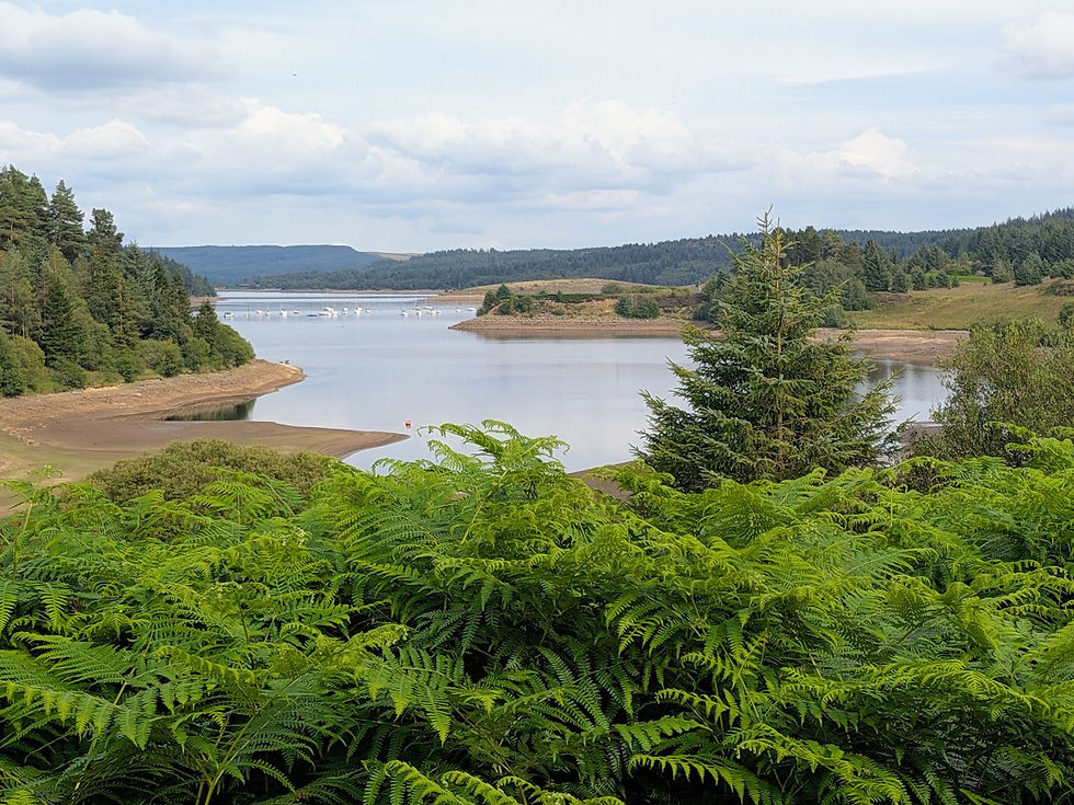
From there, it was a final stretch along the shore of about 5 miles back to the dam and the car. We finished the walk in just under 11 hours.
According to the Fitbit we’d done 62,000 steps and burned off 4500 calories through walking. Which meant I had certainly earned my obscenely huge 16oz burger from the Blackcock Inn at Falstone, washed down with a pint of Guinness and a delicious sticky toffee pudding for dessert.
A delicious, hearty meal at The Blackcock Inn Falstone
I'll be honest, there is something very satisfying about walking all the way round a lake that big, and being able to look back at the dam from where you started. If you fancy a long challenge that is more about wandering and discovering than racing, I can't recommend the Lakeside Way enough.
Discover More Northumberland Adventures with Us
If you enjoyed this blog, why not check out some of our other help resources, you are sure to enjoy The Best Waterfalls in Northumberland: Three Northumberland Walks with a Wild Swim Plunge Pool
If you're not already a member of our helpful and friendly Facebook Community, come along and join us here https://www.facebook.com/groups/northumberland250adventures
For a copy of our official Northumberland 250 Adventures Guidebook, visit our homepage where you can purchase both paperback and digital versions, ready for your next adventure.
See you on the hiking trail,
Jeff & Gaynor


Comments